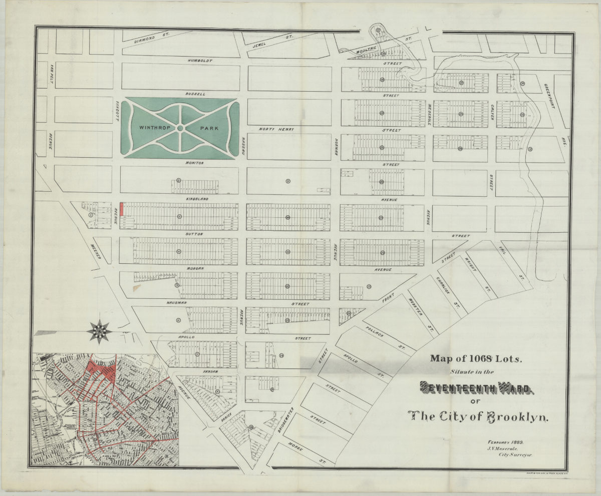
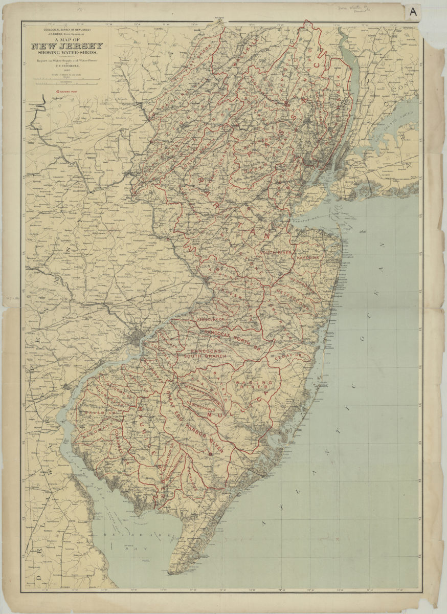
A map of New Jersey showing water-sheds: report on water-supply and water-power: by C.C. Vermeule
1890
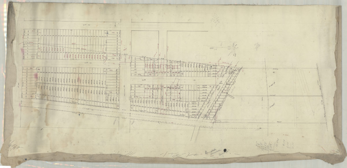
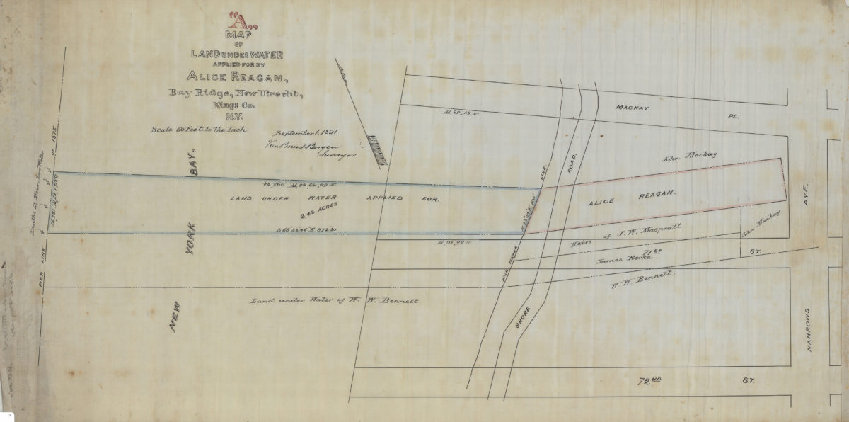
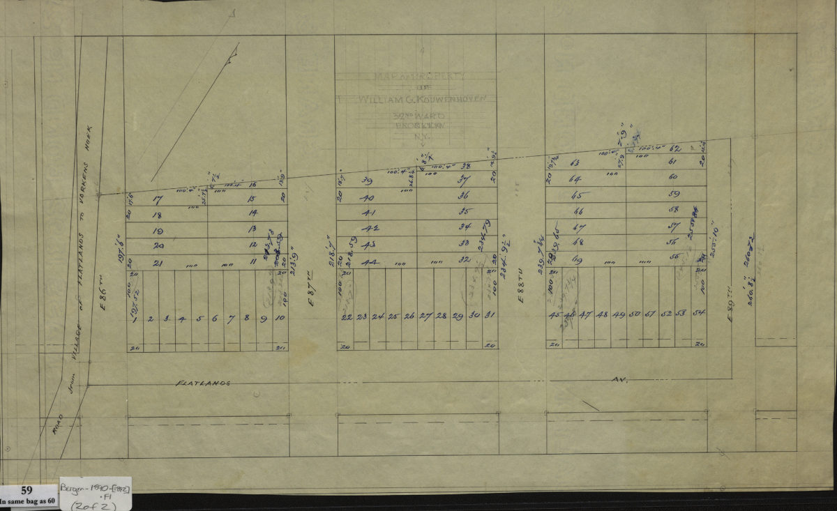
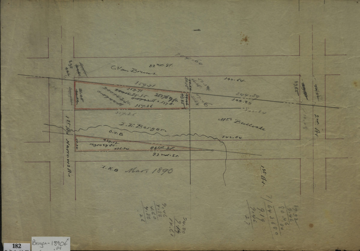
[Maps of land of John Cowenhoven, formerly of Garret Cowenhoven, and of William G. Kouwenhoven]
1890-[1892]
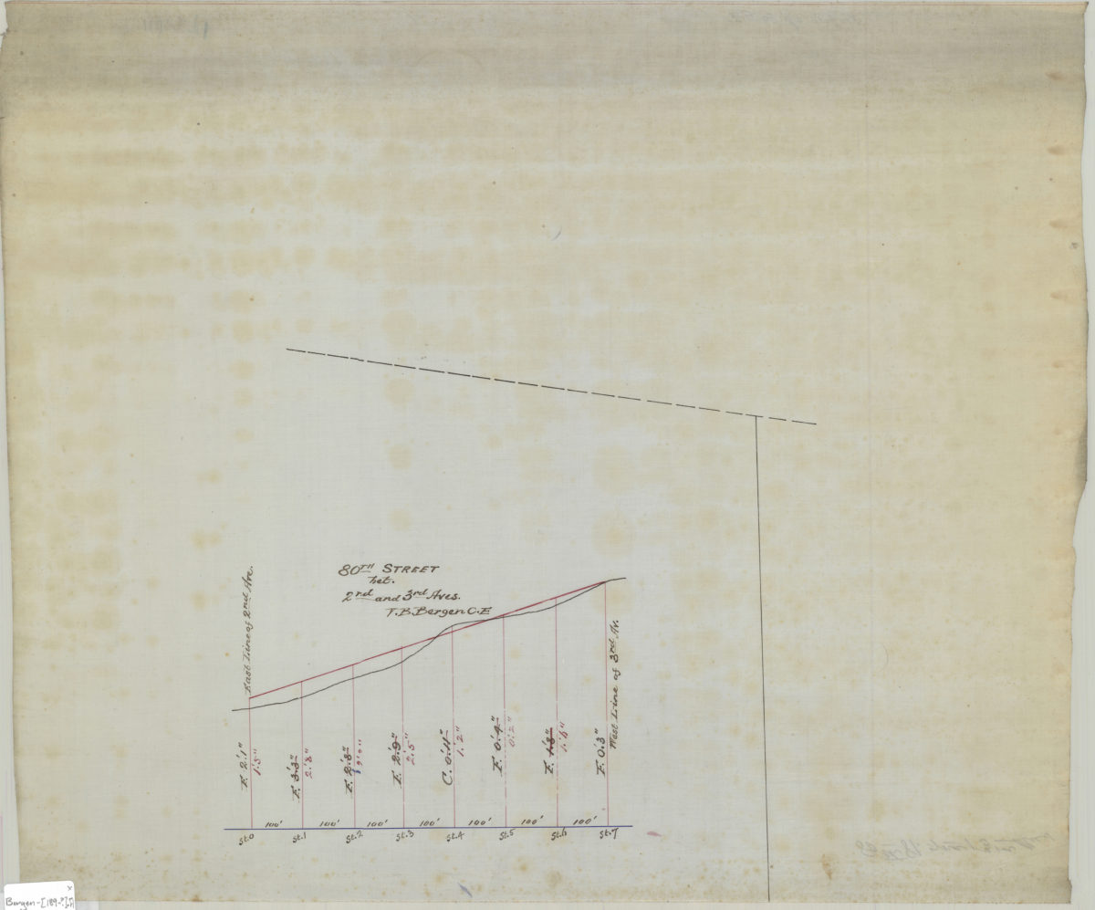
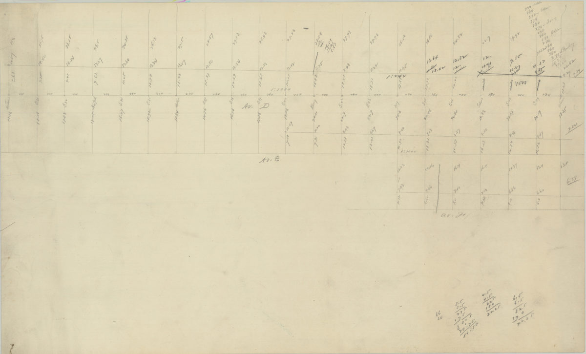
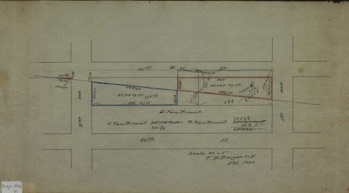
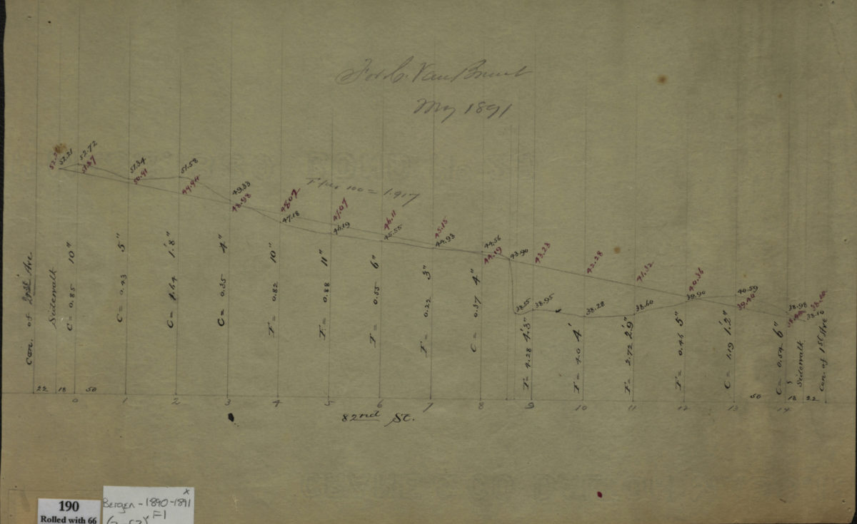
[Profile maps of the grades of 81st Street and 82nd Street between 1st Avenue and 2nd Avenue]
1890-1891

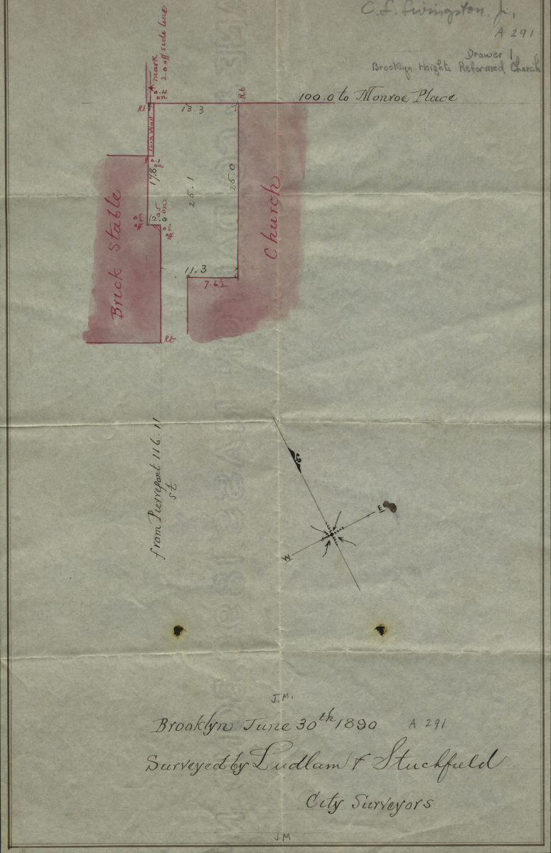
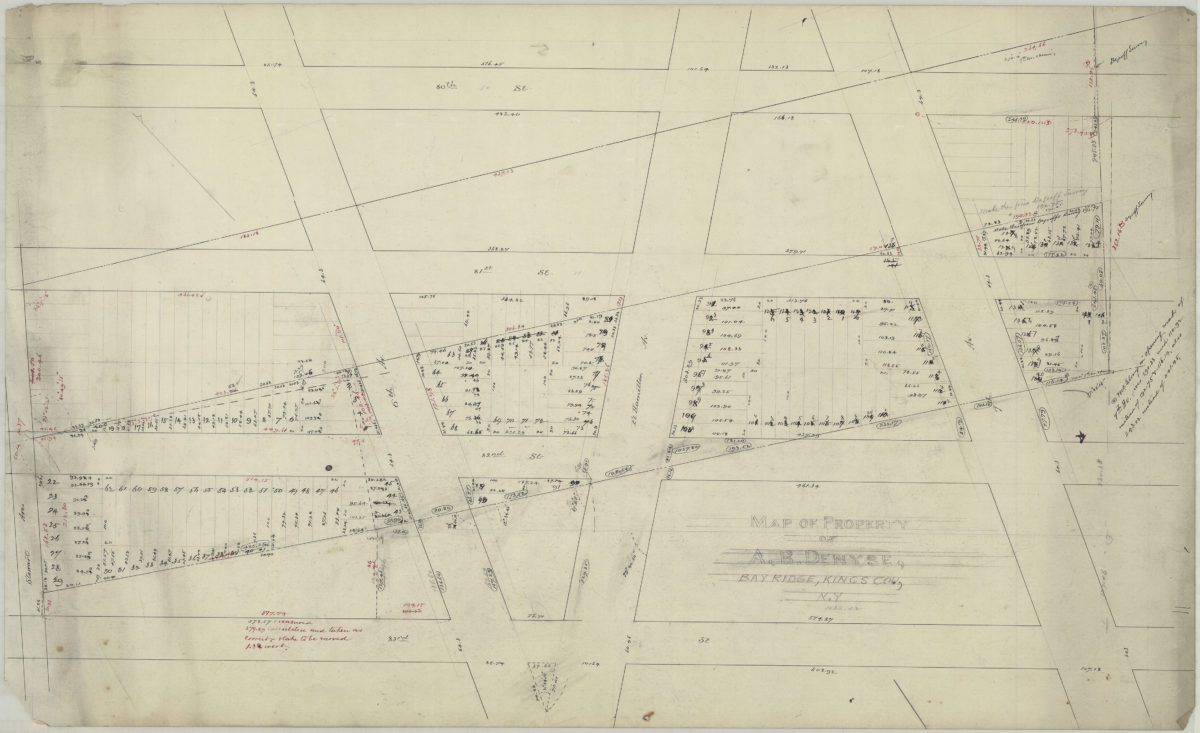
[Map showing the Brooklyn Heights Reformed Church]: surveyed by Ludlam & Stuchfield, city surveyors
June 30, 1890