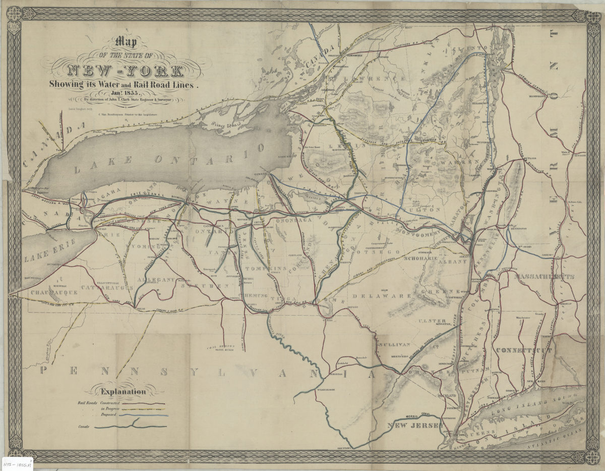
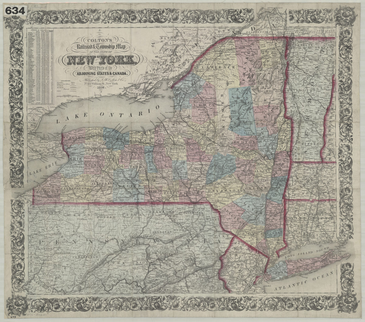
Colton’s railroad & township map of the state of New York: with parts of the adjoining states & Canada: drawn by Geo. W. Colton
1856; [ca. 1852]
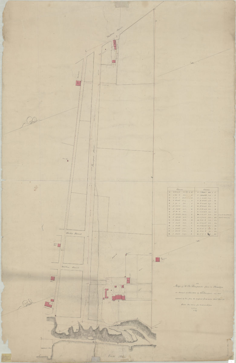
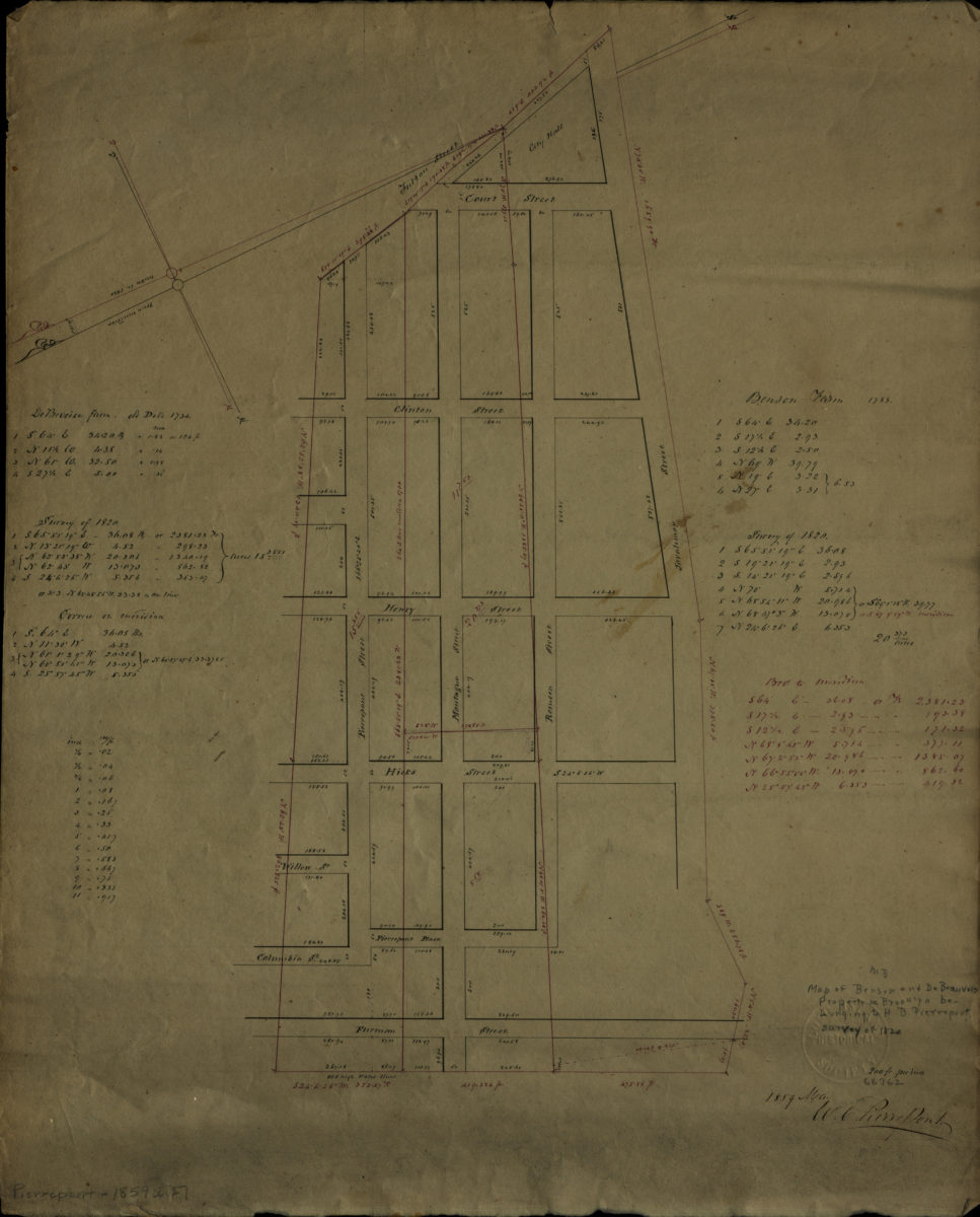
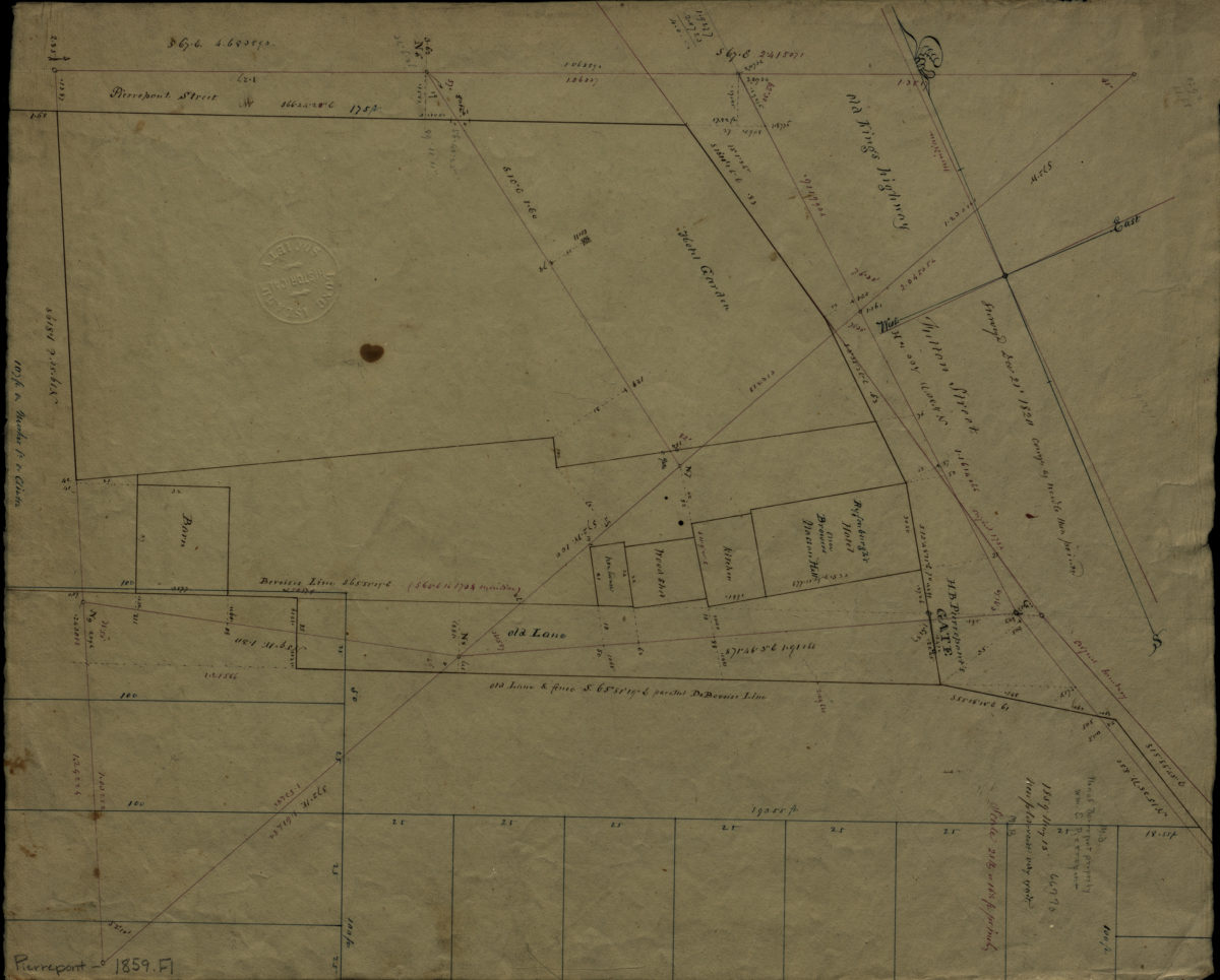
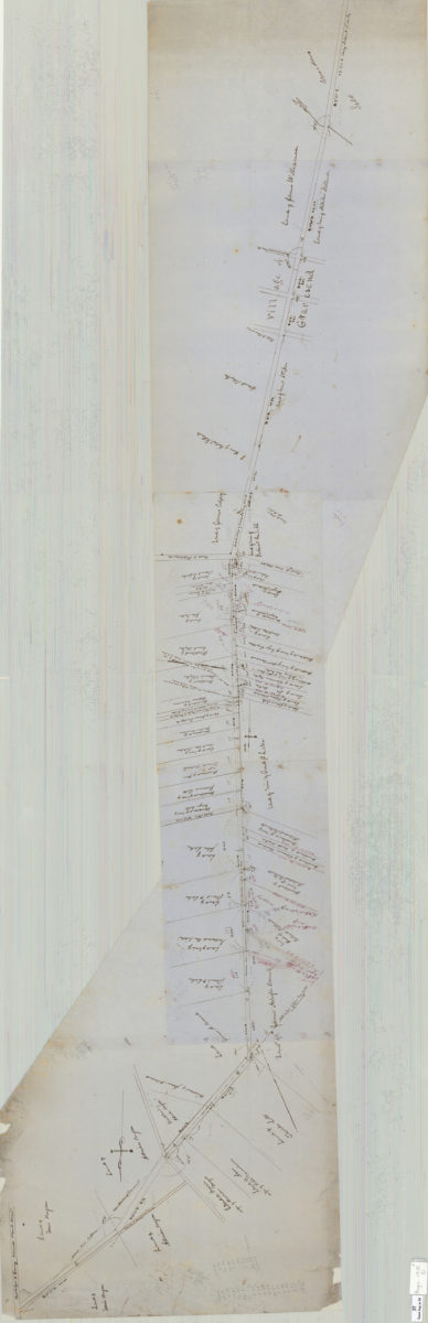
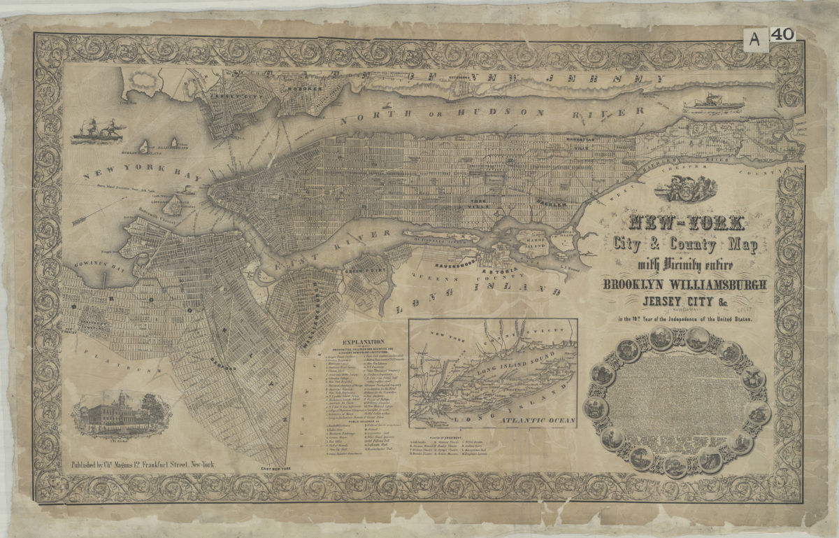
[Map of area bounded by Joralemon St., Fulton St., Pierrepont St., and Furman St.]: W.C. Pierrepont
May 1859