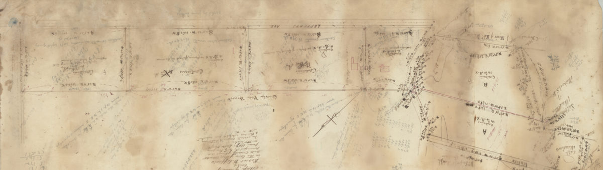
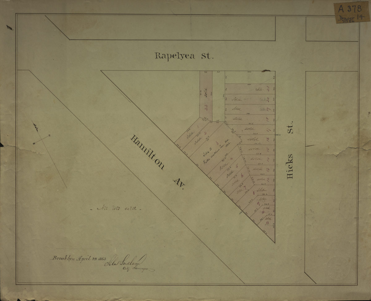
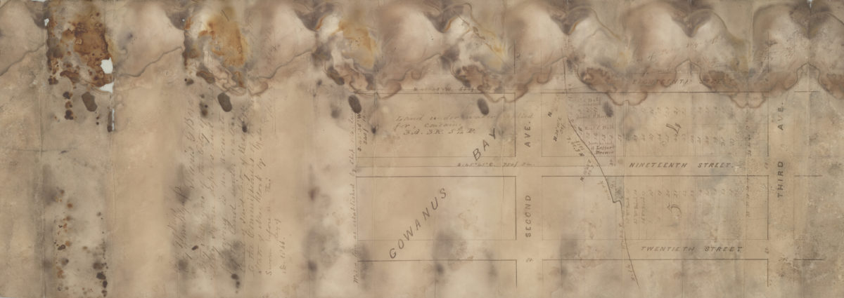
[Map of area bounded by Rapelyea St., Hamilton Ave., and Hicks St.]: Silas Ludlam, city surveyor
April 29, 1863
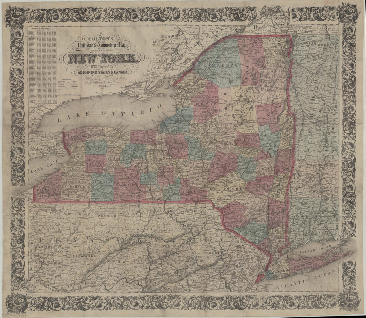
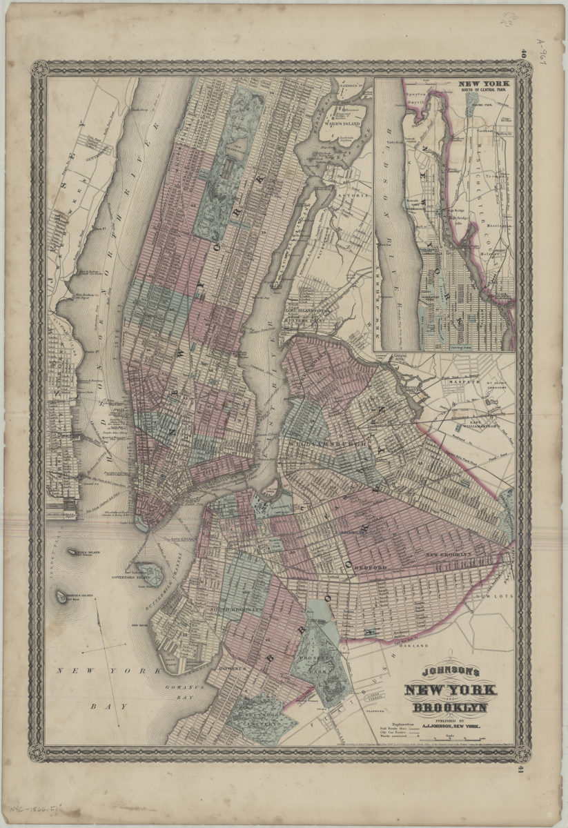
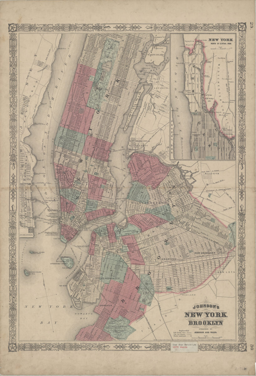
Colton’s railroad & township map of the state of New York: with parts of the adjoining states & Canada: drawn by Geo. W. Colton
1864; [ca. 1852]
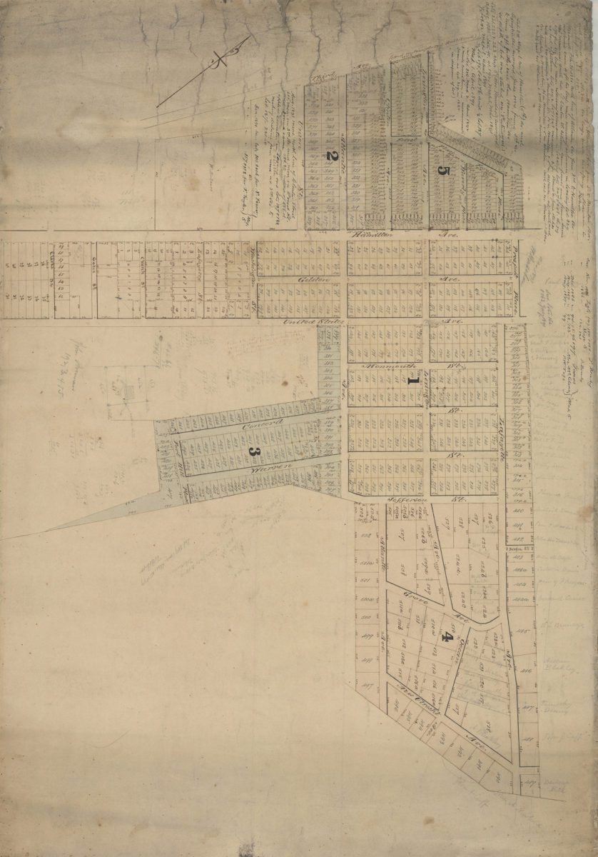
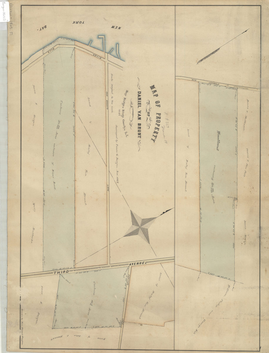
Map of property of Daniel Van Brunt: Bay Ridge, Kings County, L.I.: surveyed by Tunis G. Bergen ; drawn by Van Brunt Bergen
November 1865
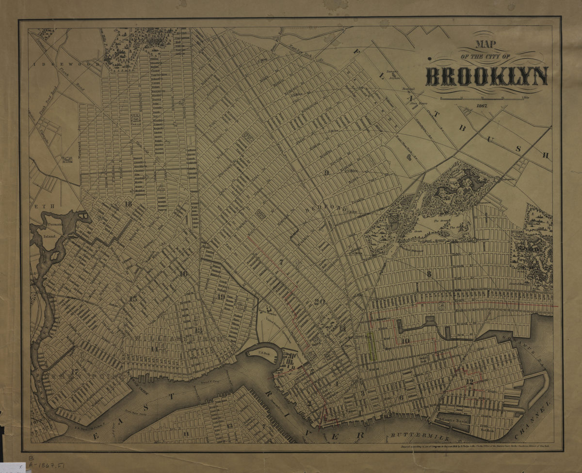
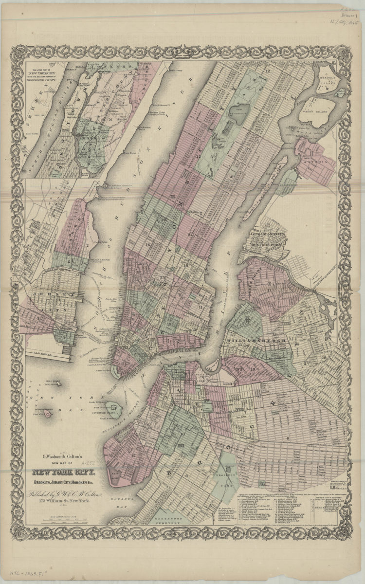
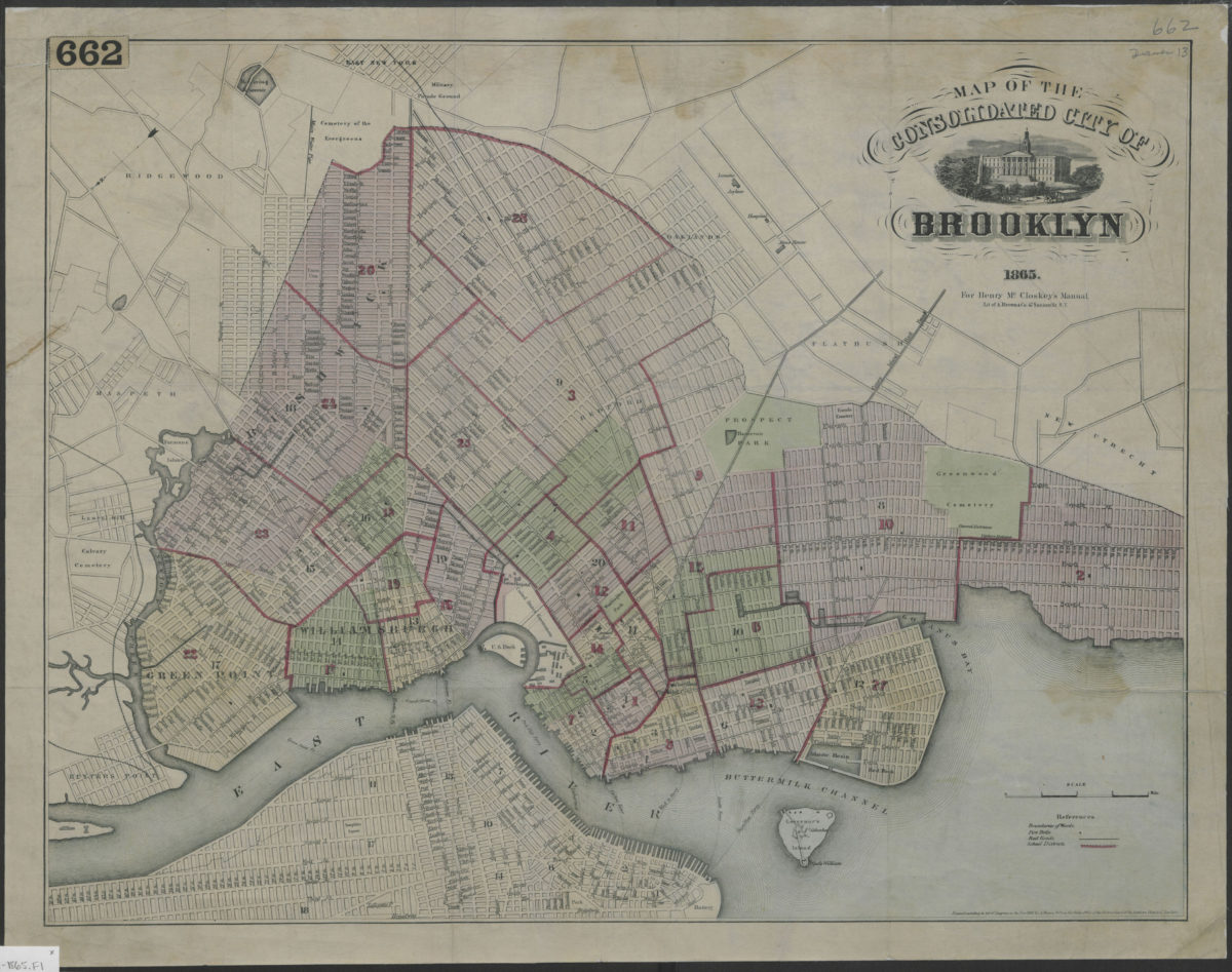
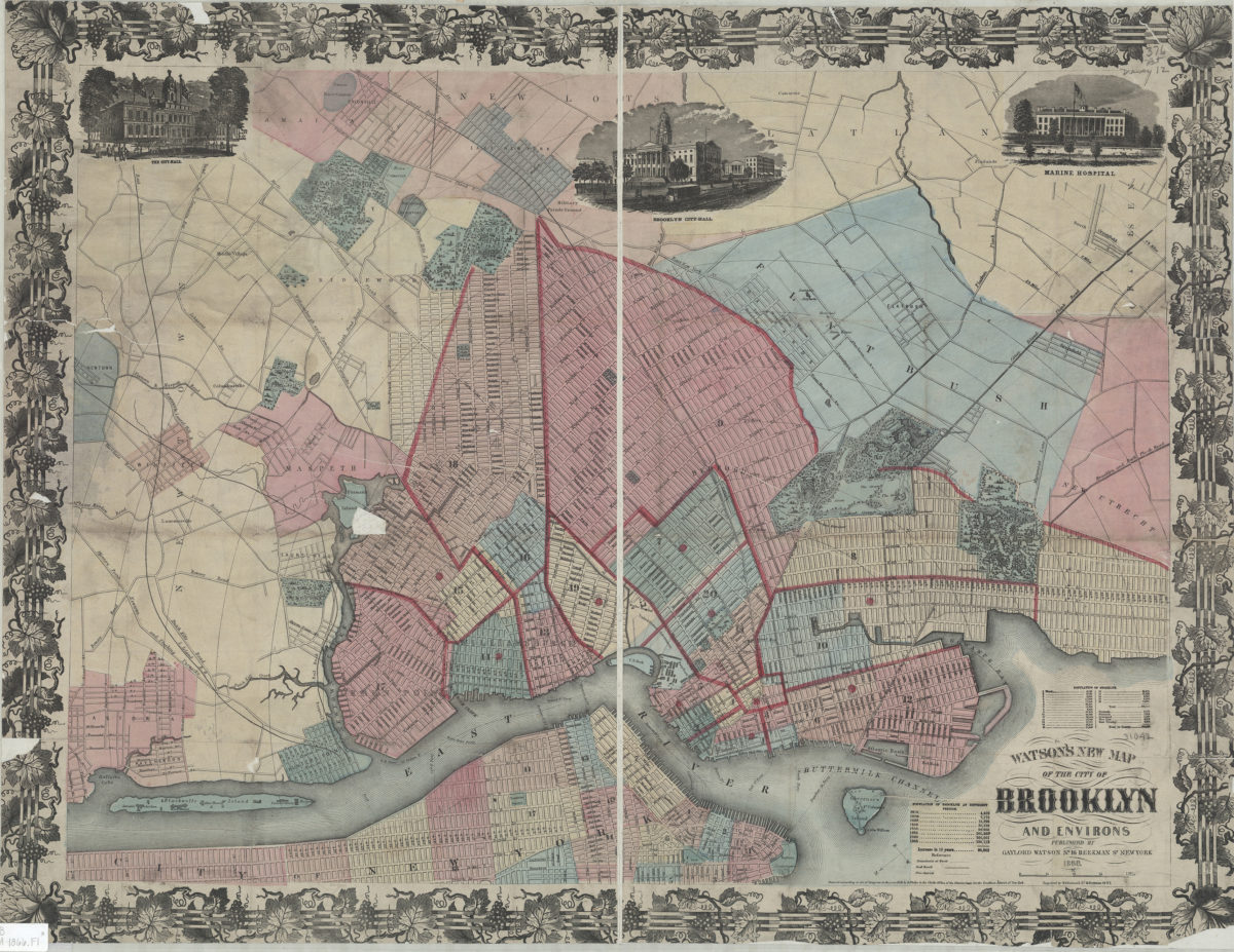
Watson’s new map of the city of Brooklyn and environs
1866; [ca. 1858]
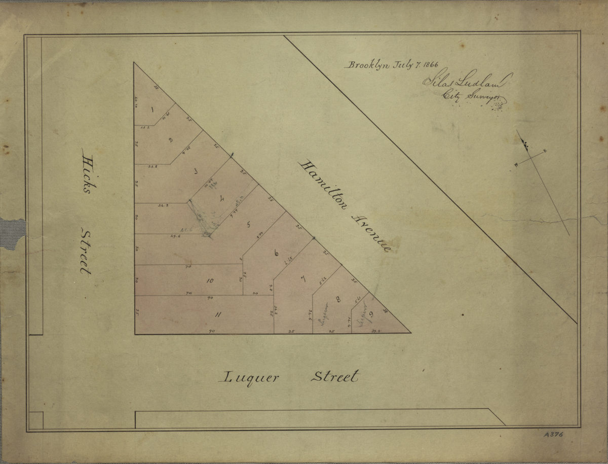
[Map of area bounded by Hicks St., Luquer St., and Hamilton Ave.]: surveyed by Silas Ludlam, city surveyor
July 7, 1866
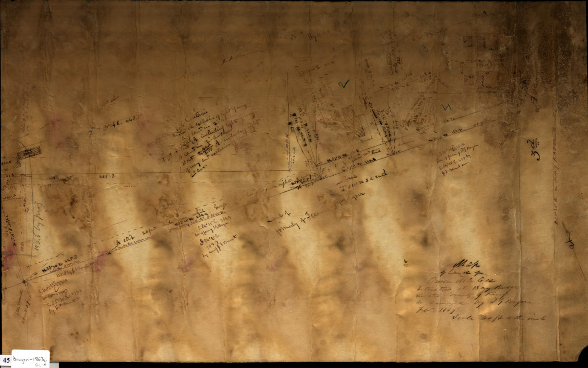
Map of land of Owen McGee situated at Bay Ridge in the county of Kings: as surveyed by T.G. Bergen Feb. 1867
February 1867