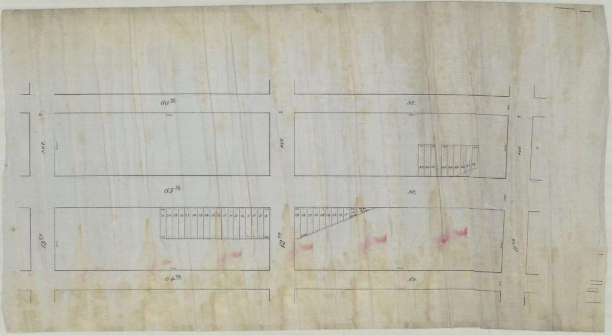
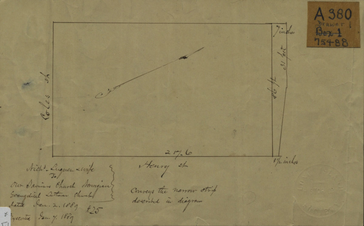
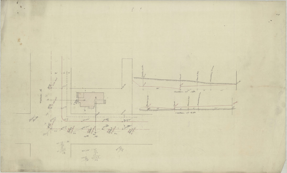
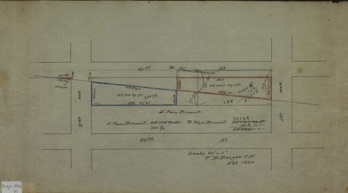
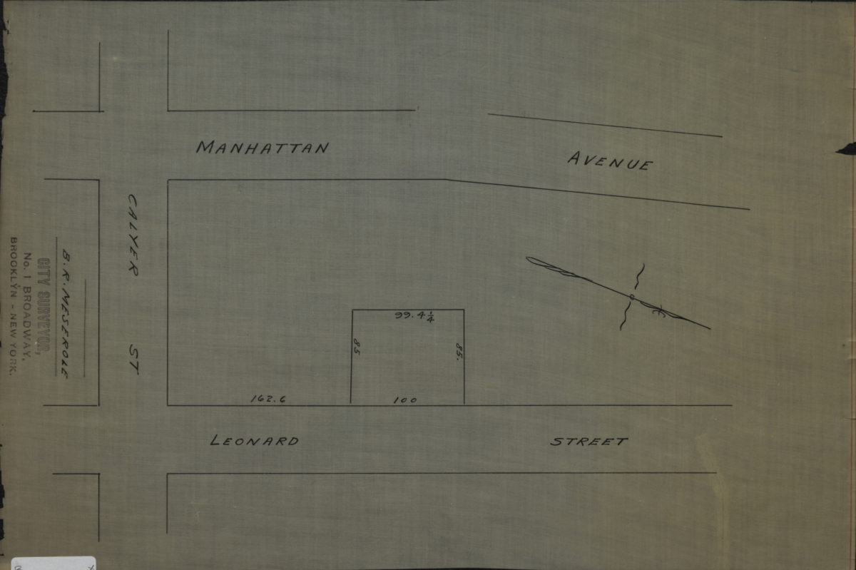
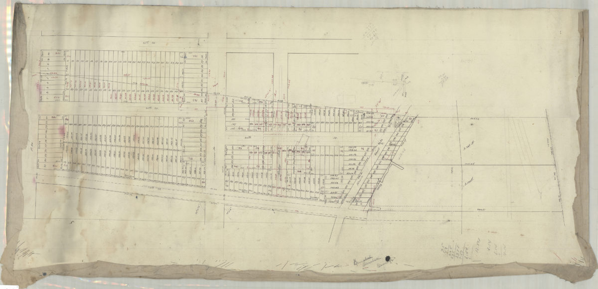
[Diagram of Luquer property at Coles St. and Henry St.].
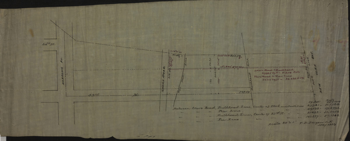
January 2, 1889
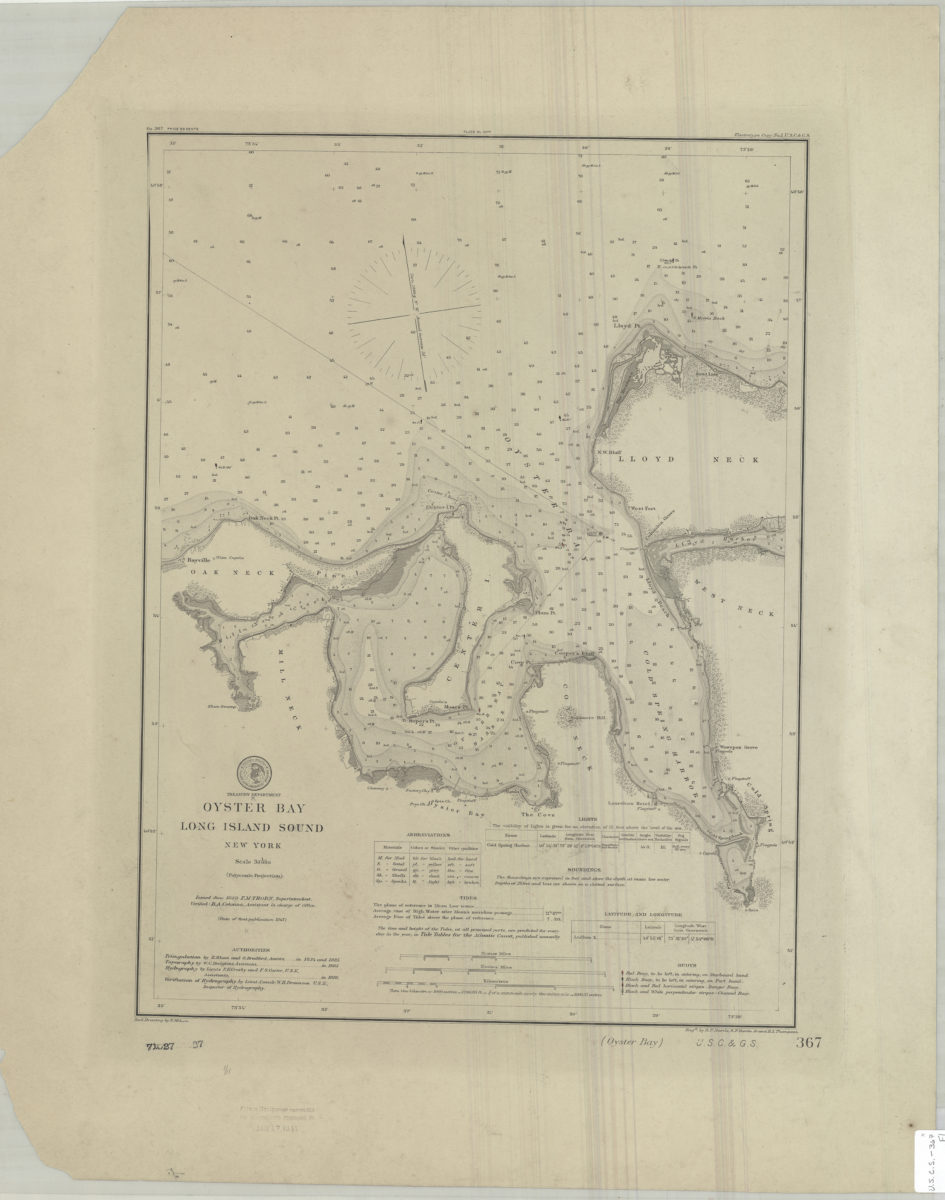
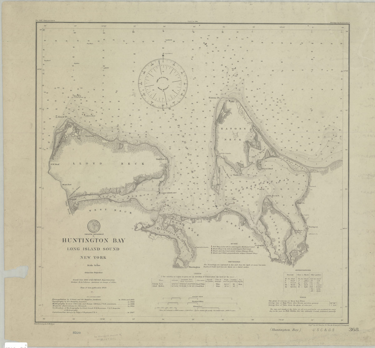
Oyster Bay, Long Island Sound, New York: U.S. Coast and Geodetic Survey ; red. drawing by E. Molkow
1889
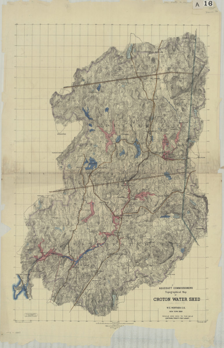
Aqueduct Commissioners topographical map of Croton Water Shed: W.E. Worthen C.E. ; J.A. Valles, del
1889
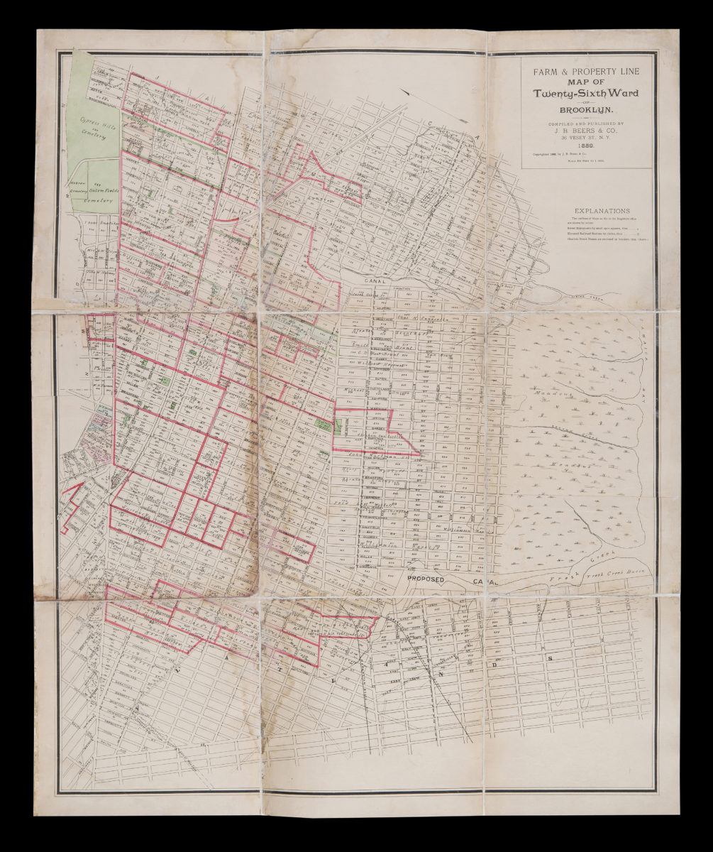
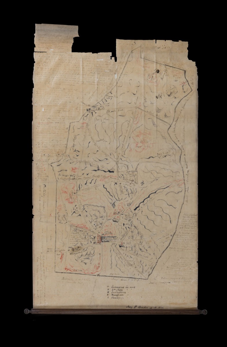
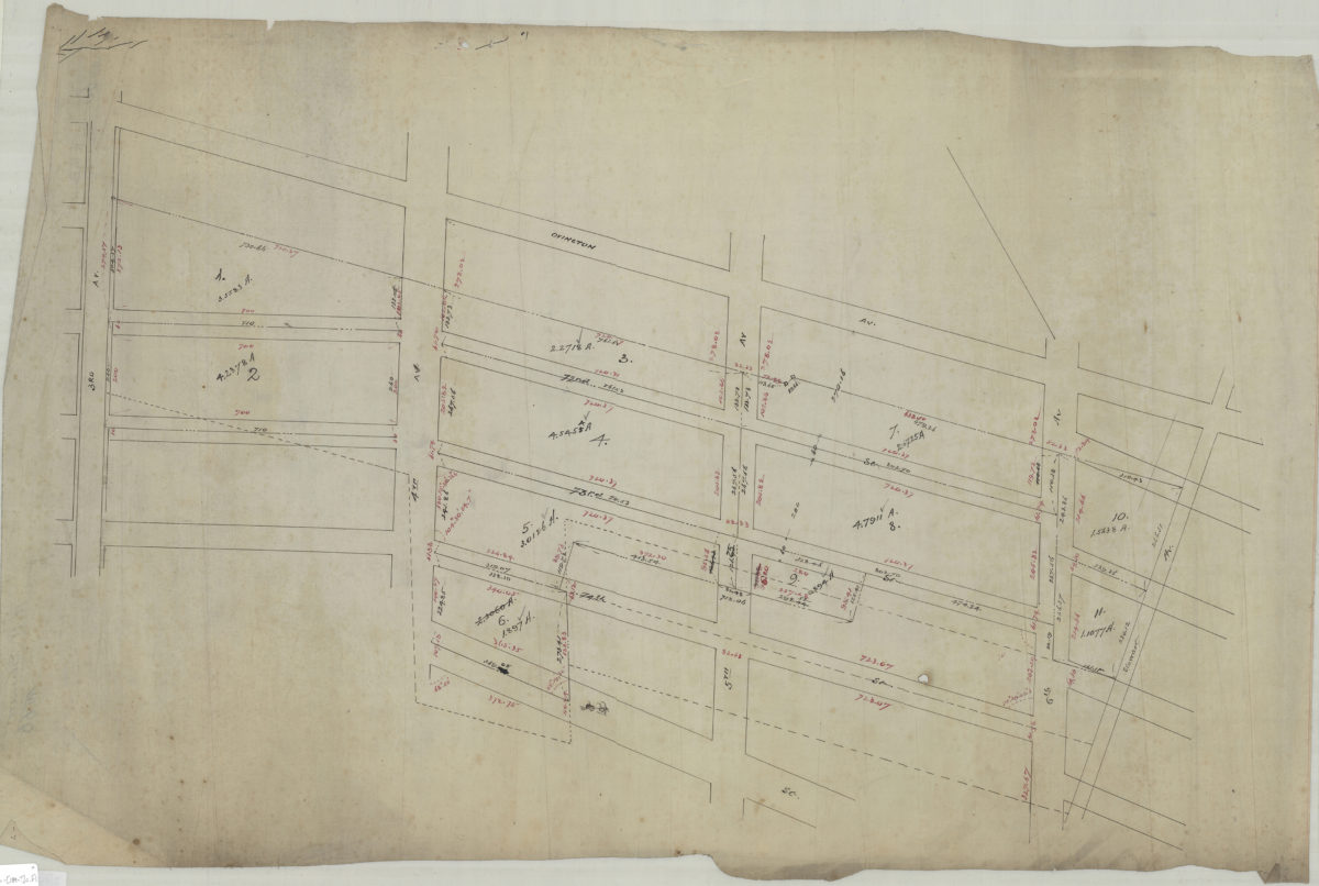
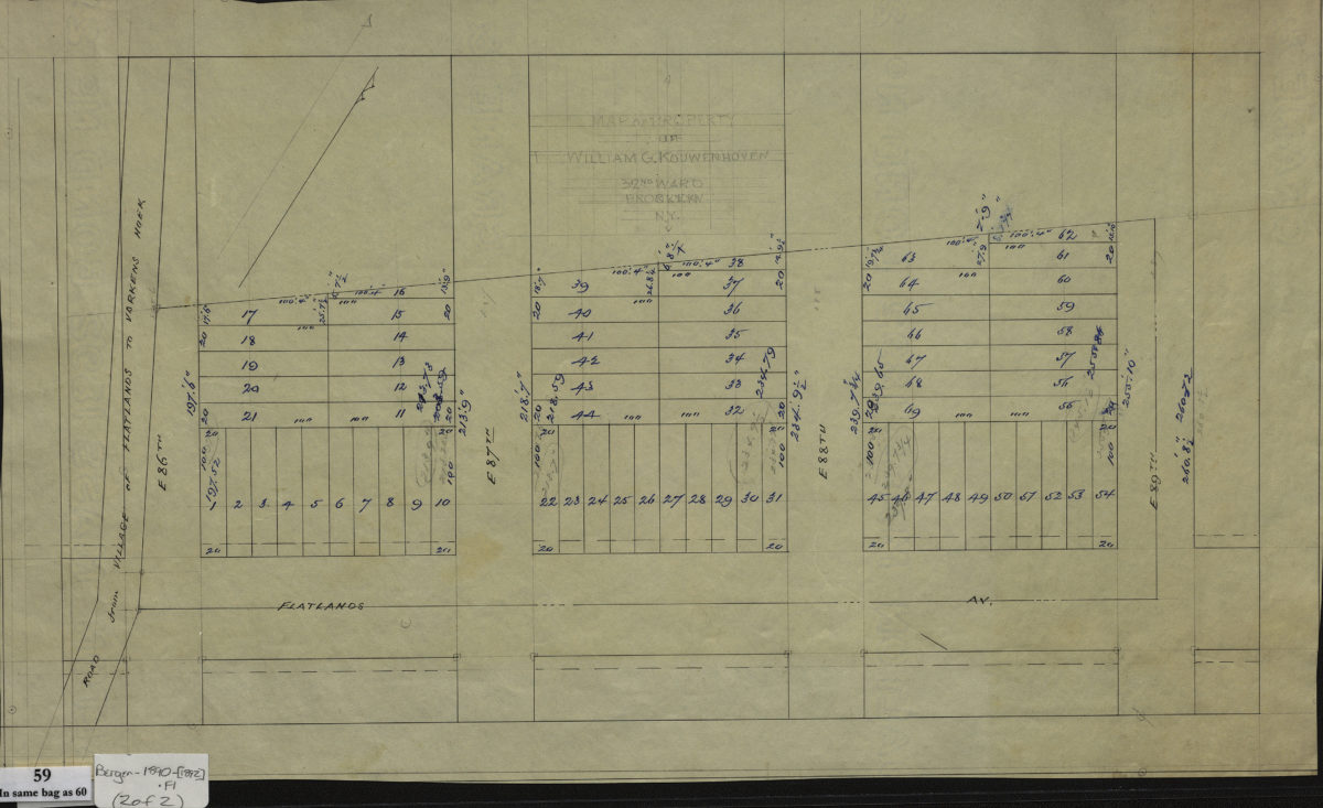
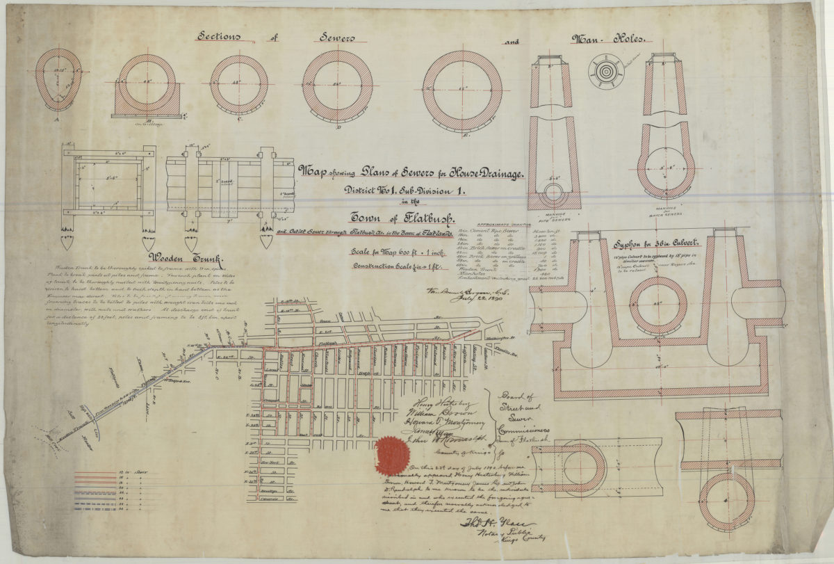
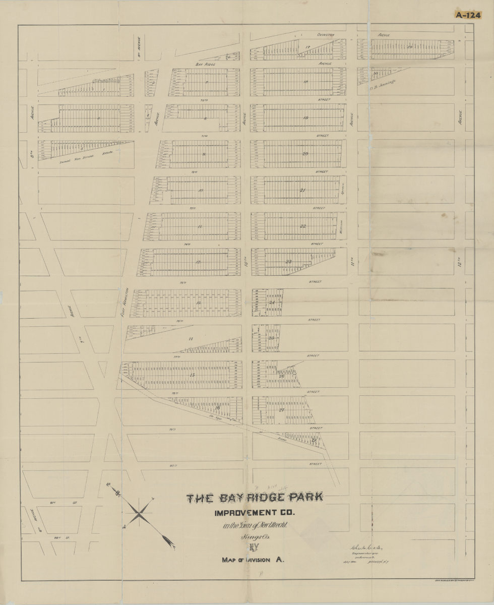
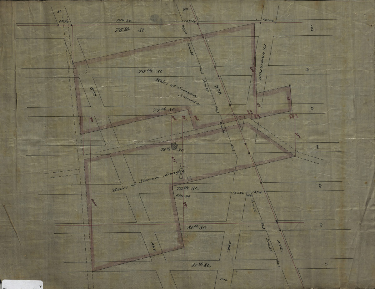
[Maps of land of John Cowenhoven, formerly of Garret Cowenhoven, and of William G. Kouwenhoven]
1890-[1892]
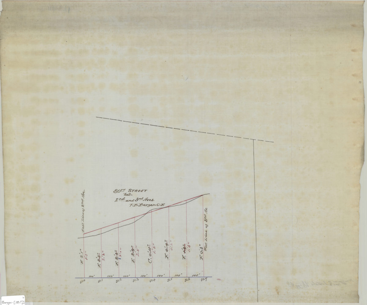
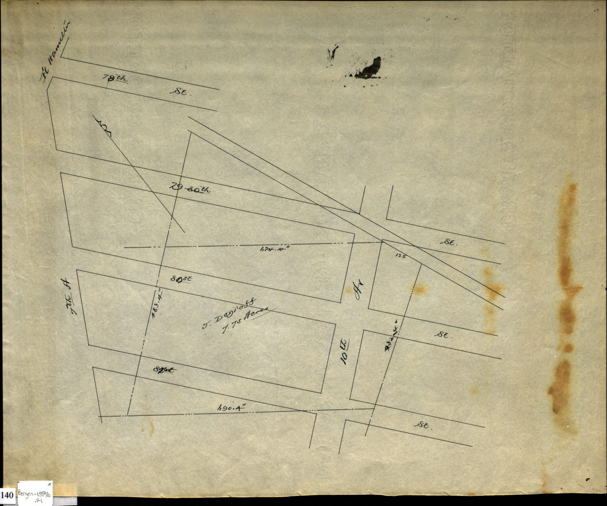
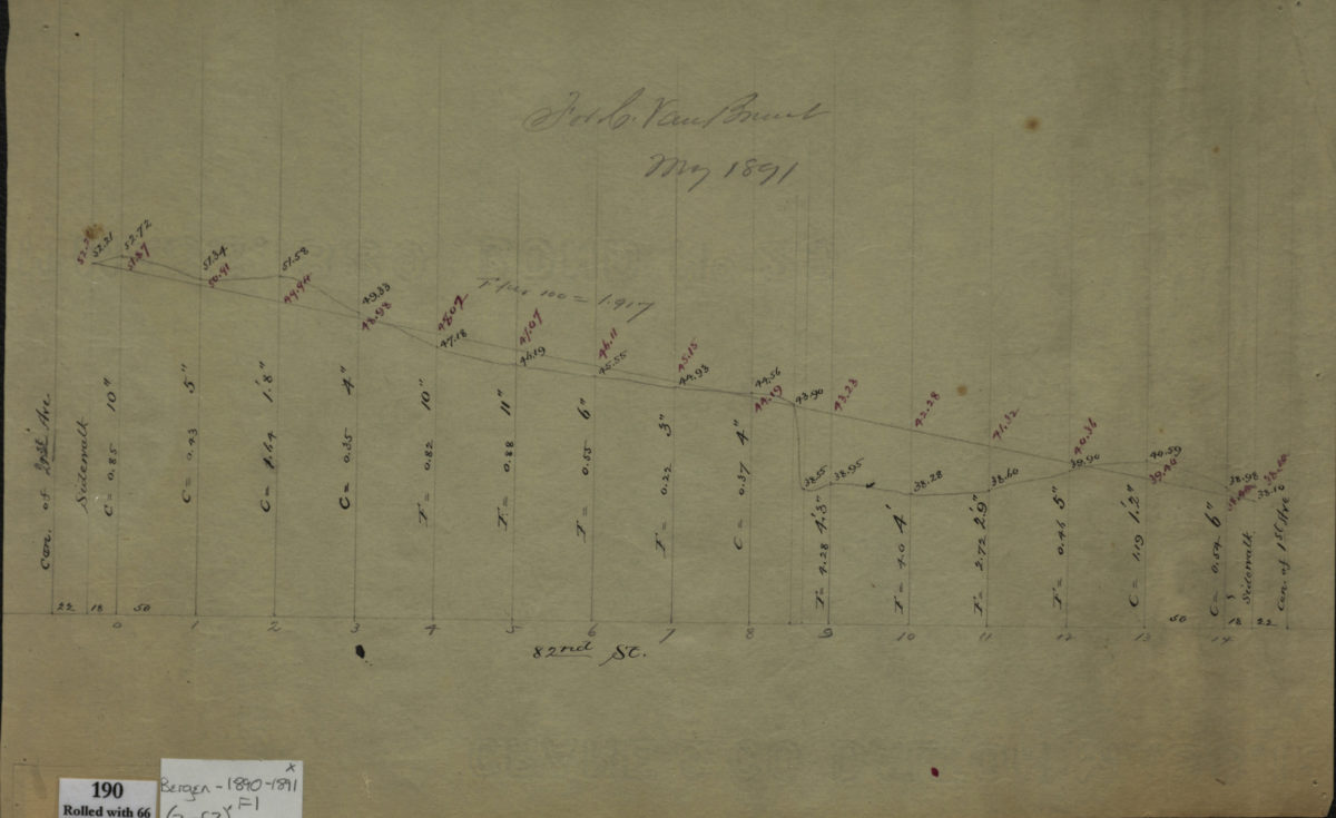
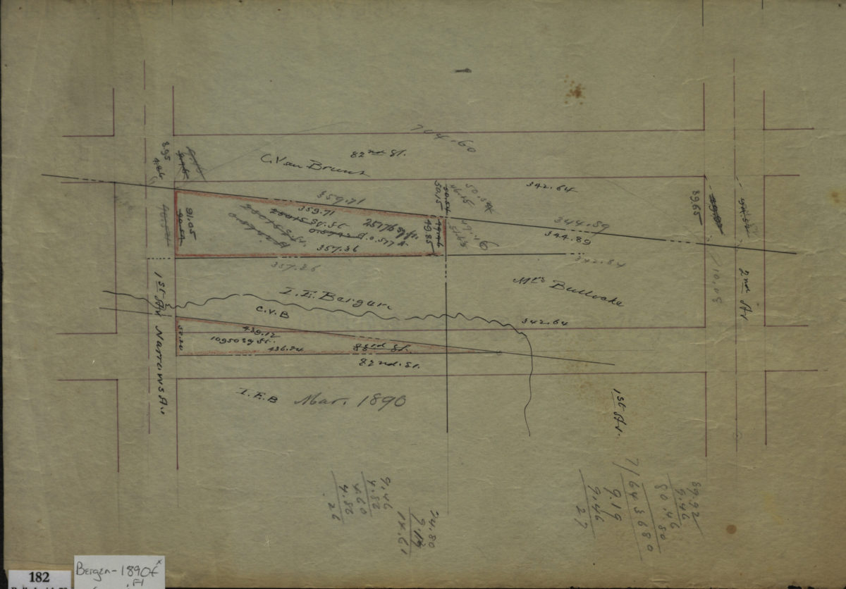
[Profile maps of the grades of 81st Street and 82nd Street between 1st Avenue and 2nd Avenue]
1890-1891
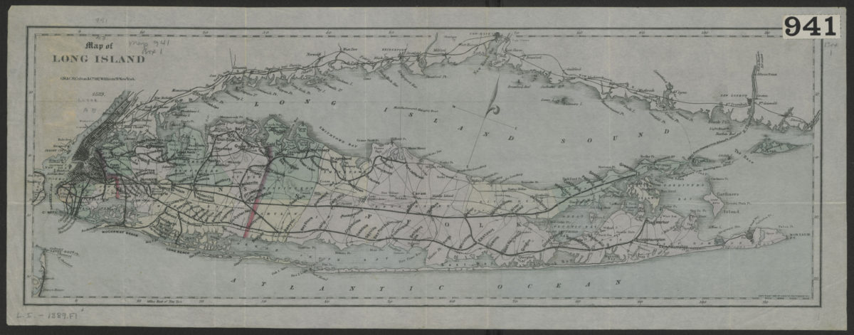
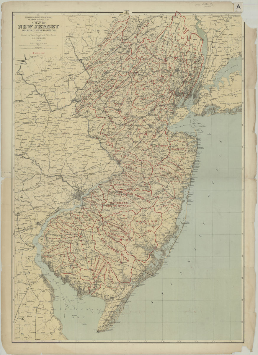
A map of New Jersey showing water-sheds: report on water-supply and water-power: by C.C. Vermeule
1890
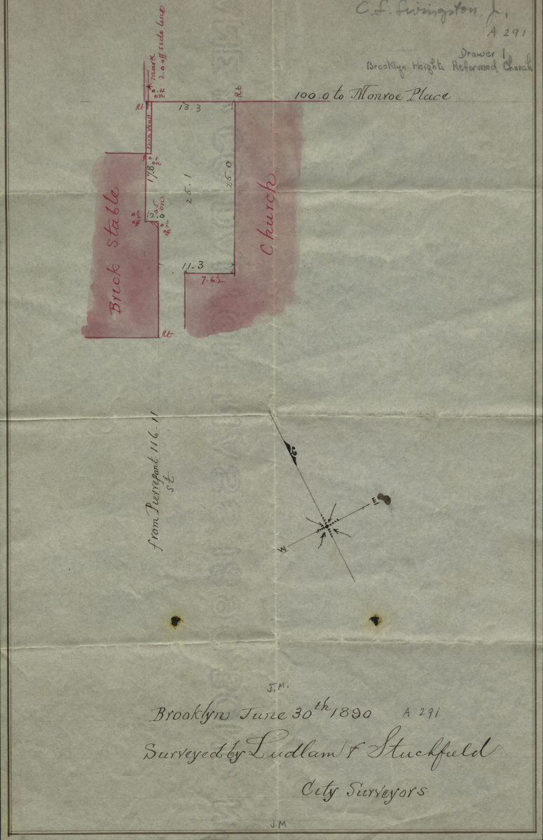
[Map showing the Brooklyn Heights Reformed Church]: surveyed by Ludlam & Stuchfield, city surveyors
June 30, 1890